Technical article in analyse:berg Summer 2025

In the Summer 2025 issue of analyse:berg, two contributions offer insight into the DIGIWAY project. The magazine is published by the Austrian Board of Alpine Safety (ÖKAS). © analyse:berg
Interview: „Digitale Welt und Realität dürfen nicht widersprüchlich sein“

Lucia Felbauer and Klaus Pietersteiner from the Tyrolean DIGIWAY project team provide insights into the project in an interview. © analyse:berg
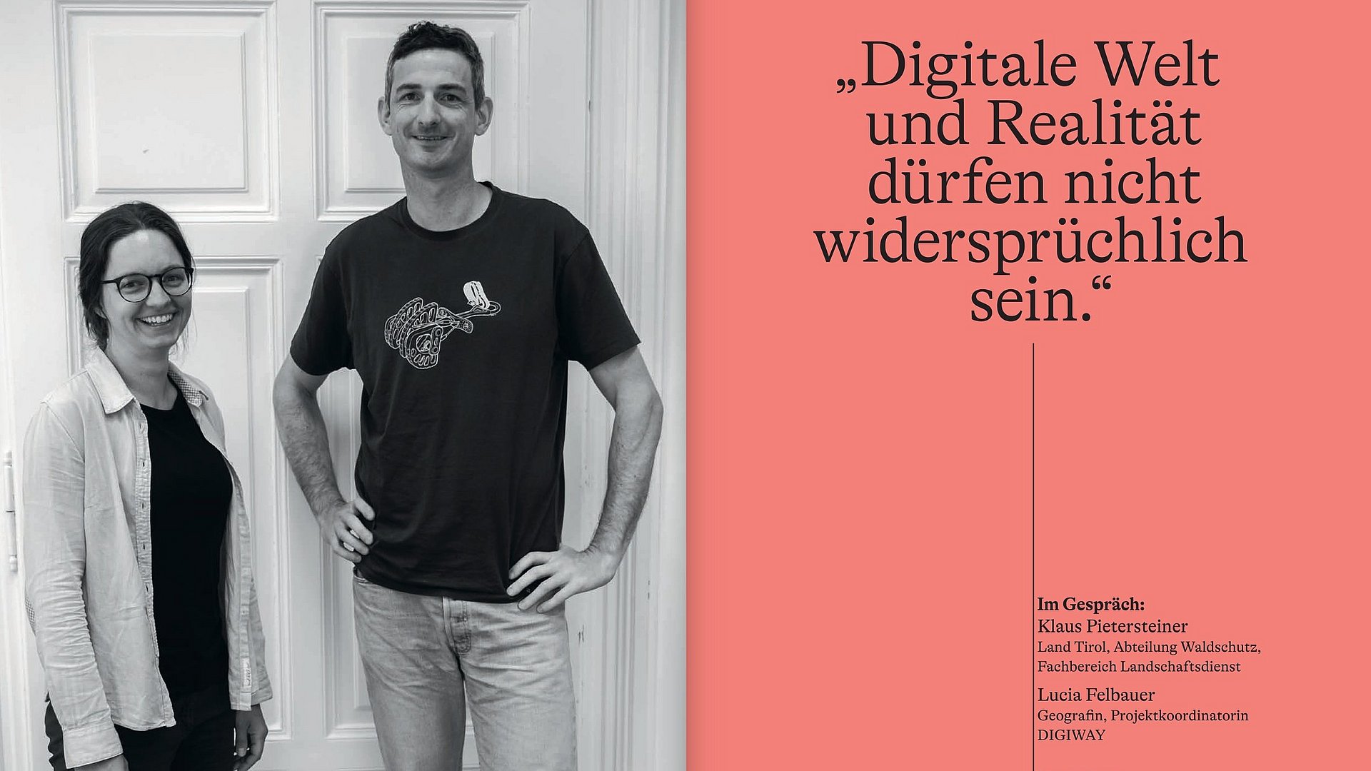
In the interview, Klaus Pietersteiner and Lucia Felbauer discuss the objectives, approach, and key questions of the DIGIWAY project.
The focus is on:
- the challenges of the current data landscape (e.g. varying data quality, lack of transparency, and the use of OpenStreetMap data without quality assurance)
- the idea of providing quality-assured and harmonised geodata for the entire hiking trail network of the Euregio, or creating the conditions for this
- the development of an open, standardised data basis that can be used by existing applications and tour platforms
A central objective is to create a reliable basis for digital tour planning. The guiding principle is:
Information from the real world (signposting, hazard information, trail alignment) must be represented consistently and transparently in the digital world.
In addition, key project results are presented in the interview – including the integration of geodata, the comparison tool for trail classifications, and the “fall potential layer”, which visualises the consequences of a potential fall along a trail – now referred to as the “exposure map”.
Technical article: „Ein schwieriger Weg!“

In the technical article, Walter Würtl and Peter Plattner describe the challenges associated with the classification systems of hiking and mountain trails. © analyse:berg
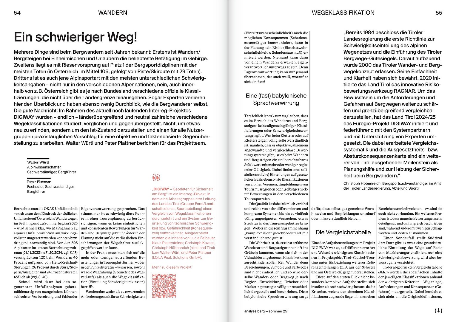
The technical article by Walter Würtl and Peter Plattner addresses a central issue in mountain sports: the inconsistent and difficult-to-compare classification systems for hiking and mountain trails.
The starting point is a clear observation:
- Mountain hiking is the most popular alpine activity, but also the one with the highest number of fatal accidents.
- Reliable tour planning is hindered by differing and often contradictory assessment systems.
Within the framework of DIGIWAY, various classification systems were analysed and compared across borders for the first time. Key criteria were identified and made semantically comparable.
A key result is the clear differentiation between three central aspects:
- Technical difficulty
- Consequences (severity of a fall / exposure)
- Natural hazards
This differentiated approach enables a much more precise assessment of risks.
For example, a trail may be technically easy, but due to high exposure, it can entail severe consequences in the event of a fall.
Building on this, a comparison table of the main classification systems was developed within the project, along with a concept for a digital comparison or “translation tool”.
Further information
The full analyse:berg Sommer 2025 issue can be obtained from the Austrian Board of Alpine Safety (ÖKAS).

Cooperations


Our regions